
 Location map© OpenStreetMap contributors
Indonésie · Východní Nusa Tenggara
Komodo – Padar Island
Padar is a broken island of narrow ridges, bays and strongly curved coastlines.
Explore this placeA WORLD OF PLACES. YOUR 3D MAP.
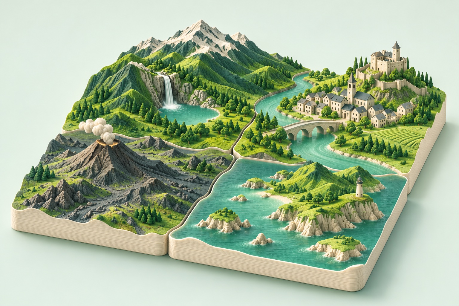
From mountain lakes to river bends and islands, discover places shaped by water and the land around it.
EVERY PLACE HAS A STORY
Every theme in one place. Choose a landscape, a style of architecture or an experience.
Location map© OpenStreetMap contributorsIndonésie · Východní Nusa Tenggara
Padar is a broken island of narrow ridges, bays and strongly curved coastlines.
Explore this place Location map© OpenStreetMap contributors
Norsko · Vestland
Nærøyfjord forms a narrow marine corridor between high slopes in western Norway.
Explore this place Location map© OpenStreetMap contributors
Česko · Děčín
North of Děčín, the Elbe cuts between high sandstone slopes and cliff edges.
Explore this place Location map© OpenStreetMap contributors
Česko · Špindlerův Mlýn
The Pančava drops from a high Krkonoše plateau into the glacially shaped Elbe valley.
Explore this place Location map© OpenStreetMap contributors
Česko · Železná Ruda
Černé Lake lies beneath the steep face of Jezerní hora in a glacial cirque of the Šumava Mountains.
Explore this place Location map© OpenStreetMap contributors
Česko · Krňany
Below Máj viewpoint, the Vltava wraps around a high wooded spur in a tightly curved valley.
Explore this place Location map© OpenStreetMap contributors
Česko · Třeboň
Rožmberk Pond north of Třeboň forms a broad sheet of water in the low South Bohemian landscape.
Explore this place Location map© OpenStreetMap contributors
Česko · Český Krumlov
Český Krumlov combines a compact historic centre with tight Vltava bends and an elevated castle complex.
Explore this place Location map© OpenStreetMap contributors
Česko · Telč
Historic Telč stands between ponds that helped define and defend its centre alongside the town walls.
Explore this place Location map© OpenStreetMap contributors
Česko · Lednice
Lednice Château opens into an extensive landscape park with ponds, islands and a network of paths.
Explore this place Location map© OpenStreetMap contributors
Česko · Frymburk
Around Frymburk, Lipno Reservoir spreads between Šumava hills, branching bays and long peninsulas.
Explore this place Location map© OpenStreetMap contributors
Česko · Mořina
Velká Amerika near Mořina is an elongated limestone quarry with high walls and water on its floor.
Explore this place Location map© OpenStreetMap contributors
Česko · Jílové u Prahy
Near Luka pod Medníkem, the Posázavský Pacifik railway follows the deep Sázava valley beneath steep wooded slopes.
Explore this place Location map© OpenStreetMap contributors
Česko · Štěchovice
The Vltava section known as Svatojánské proudy now lies beneath the Štěchovice reservoir, but high rocky slopes retain the character of a confined valley.
Explore this place Location map© OpenStreetMap contributors
Česko · Loket
The Ohře wraps around Loket on almost every side, forming a naturally protected urban spur.
Explore this place Location map© OpenStreetMap contributors
Česko · Orlík nad Vltavou
Orlík Château stands on a spur above the reservoir of the same name, which transformed its original high position over the Vltava.
Explore this place Location map© OpenStreetMap contributors
Česko · Zvíkovské Podhradí
Zvíkov occupies a narrow spur between the Otava and Vltava, whose confluence is now widened by Orlík Reservoir.
Explore this place Location map© OpenStreetMap contributors
Česko · Podmolí
The Šobes vineyard occupies a sunny slope on a rocky spur wrapped by the Dyje in Podyjí National Park.
Explore this place Location map© OpenStreetMap contributors
Česko · Nová Pec
Plešné Lake lies beneath a high cirque wall on the slopes of Plechý near the Czech–Austrian border.
Explore this place Location map© OpenStreetMap contributors
Česko · Vranov nad Dyjí
Vranov Reservoir fills the winding Dyje valley at the western edge of the Podyjí region.
Explore this place Location map© OpenStreetMap contributors
Česko · Hradec Králové
The confluence of the Elbe and Orlice creates a clear water junction between Hradec Králové’s historic centre, parks and newer urban districts.
Explore this place Location map© OpenStreetMap contributors
Slovensko · Vysoké Tatry
A dramatic Tatra peak above a mountain lake, with steep slopes linking summit and basin.
Explore this place Location map© OpenStreetMap contributors
Slovensko · Červený Kláštor
Winding river bends between steep Pieniny slopes, with Červený Kláštor near the southern edge.
Explore this place Location map© OpenStreetMap contributors
Slovensko · Štrbské Pleso
A Tatra lake framed by resort buildings, winding shores and rising mountain slopes.
Explore this placeWater makes shorelines stand out, while rivers connect different parts of a landscape. Explore waterfalls, lakes, wetlands and coastlines together with their surrounding terrain. Slopes, islands and nearby settlements often give a map its character. A well-chosen area shows the relationship between water and land.