

Česko · Karlovy Vary
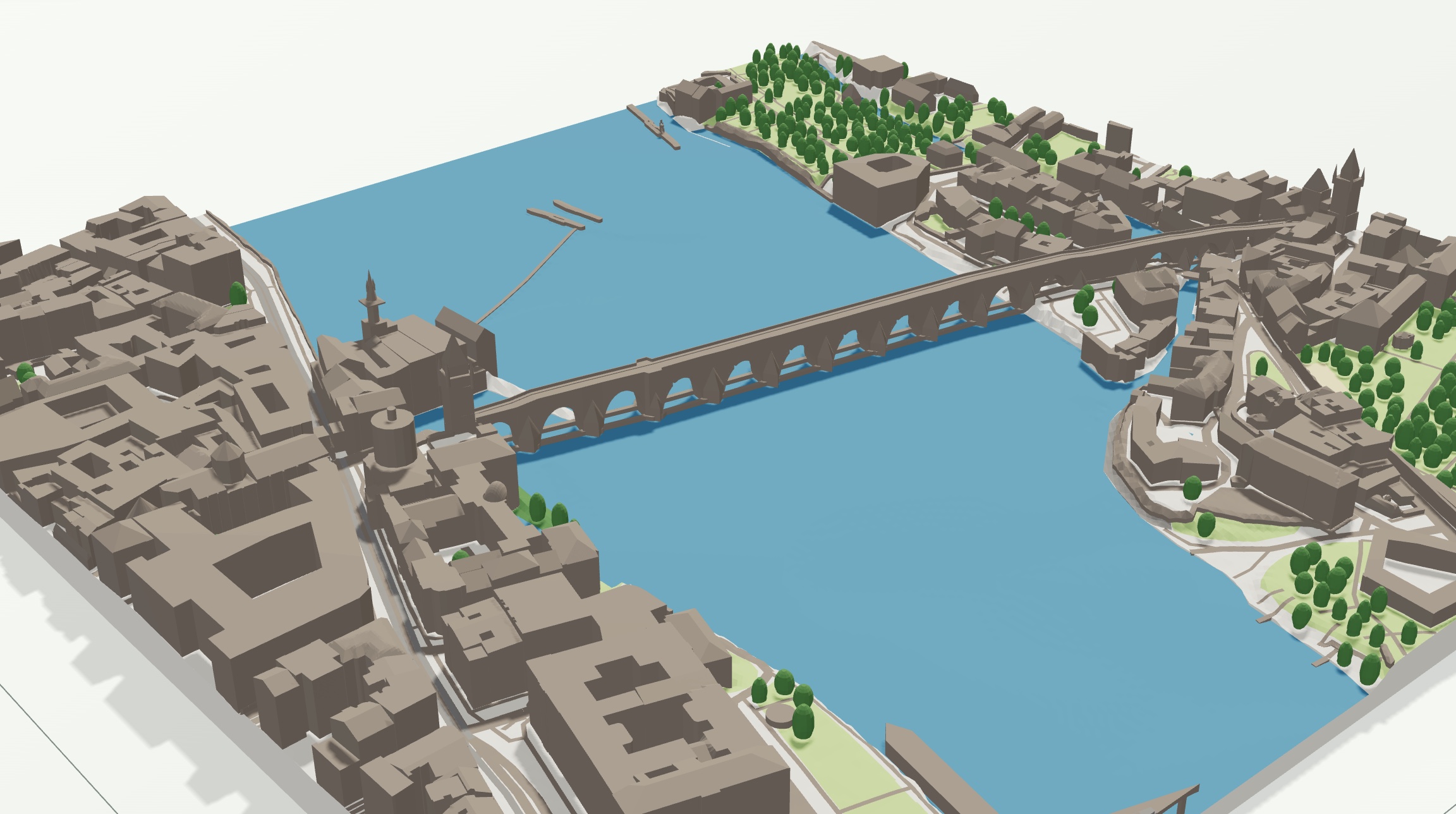
Karlovy Vary in the Teplá Valley
The spa centre of Karlovy Vary follows the narrow Teplá valley between steep wooded hills.
Explore this placeCheck your connection and try loading again.
Retrying the page once automatically…
FREE FOR SCHOOLS AND UNIVERSITIES
Explore landscapes, cities and scale with your students. Create a 3D model in the browser and download STL or 3MF for free. Everyone can use the same generator for personal projects.
Compare valleys, ridges and rivers. Elevation relief is available abroad too; detail depends on the source and selection size.
Explore building footprints, transport and green spaces. See how choosing a smaller area makes features easier to read.
From open data to a model and a slicer. Use STL for single-colour printing, or 3MF for separate parts and up to eight colours.
Generation and exports have no charge. The limits shown before downloading protect service capacity; a school sharing one IP shares those limits. Contact us in advance for a larger project. Pupils do not need accounts for the basic generator. Do not send their personal data.
Models are teaching aids, not survey data. Keep sources and licences when sharing or displaying them.

